Lake District Alfred Wainwright's Memory Walks
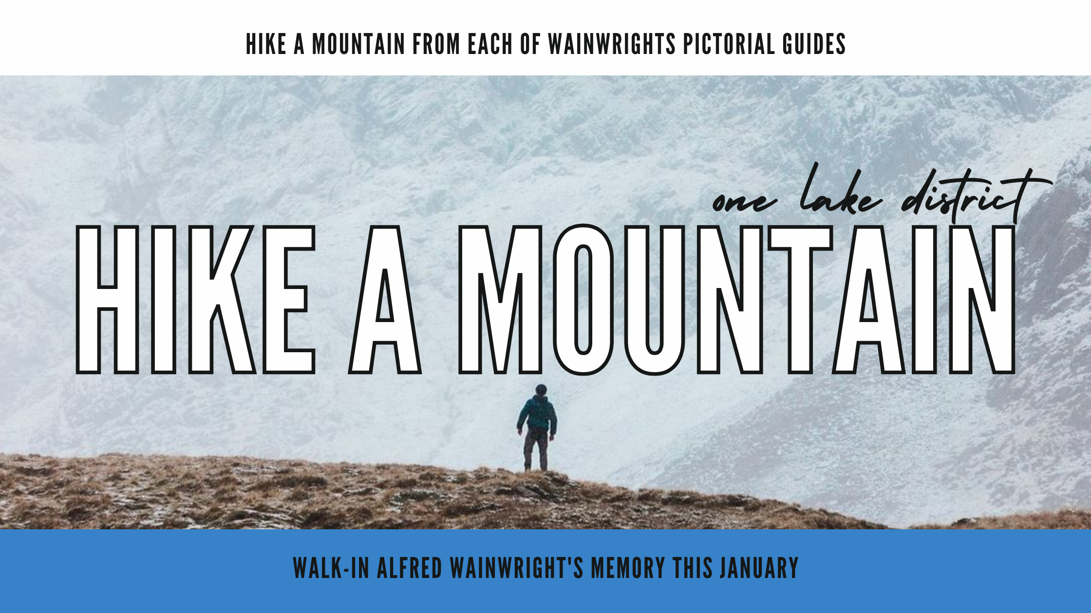
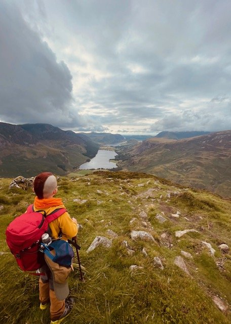
Image by Michael Lazenby & Ryan Lomas


This January marks the birthday and anniversary of the Lake Districts very own Alfred Wainwright. Wainwright was born on 17th January 1907 in Lancashire. In 1930, Wainwright visited the lakes for a walking holiday and climbed Orrest Head near Windermere. This hike sparked Wainwrights love for the fells, resulting in him later moving to Kendal to be closer to the mountains. Between 1955 and 1966, the fell walker published his seven-volume ‘Pictorial Guide to the Lakeland Fells’ consisting of 214 mountain routes alongside his own intricate pencil drawings of the fells. Selling more than two million copies, the pictorial guides became popular amongst fell baggers increasing tourism within the Lake District, with that popularity still increasing now, 31 years after his death. The Long Distance Walkers Association keeps a register of hikers who have completed all 214 Wainwrights; as of 2021 over 800 people have registered their names. Wainwright lived and worked in Kendal for the remainder of his life, sadly passing away on 20th January 1991 aged 84.
We’ve handpicked a mountain from each of Wainwrights pictorial guides for you to climb this month in both memory of his passing and celebration of his life…

Book One - The Eastern Fells
Helvellyn
The highest of the eastern fells at 3118 feet, Helvellyn is one of the classics and a well-fitting tribute hike. Although popular, it involves challenging aspects including scrambling and heights so is best climbed on a clear, dry day. There are many different routes up to the summit, but the most popular is a circular hike including both of Helvellyn’s ridges, ascending via Striding Edge and descending via Swirral Edge. Wainwright described Striding Edge as the ‘finest ridge there is in Lakeland’, so it seems only right to ascend this way.
Distance: 5 miles
Time: 4-5 hours
Height: 3118 feet
Recommended Map: OS Explorer, OL5 The English Lakes North Eastern Area
Starting at Glenridding, park at Beckside car park. This costs £8 for the day but profits are used to maintain the local area and footpaths and the visitor centre includes a café and toilet to use before the walk. From here, head towards Greenside Road, passed the Travellers Rest pub.
As you begin ascending uphill, the path will split. Follow the sign for Hillside Farm and pass over Rattlebeck bridge, continuing on the footpath until you see signs to Helvellyn via Mires Beck.
Once you reach Mires Beck, follow the water uphill until you reach the head of the stream. The path curves round to the right beside a stone wall.
As you continue on, Helvellyn and Red Tarn will come into sight ahead. Head towards Striding Edge, which snakes up the mountain on the left-hand side.
There is no specific path on Striding Edge with it being a scramble, so it’s best to take your time and stick to the middle of the ridge to avoid being too exposed. The arête leads to the summit plateau.
Once at the summit, you can descend via Swirral Edge, which is considered less challenging than Striding Edge, but great care still needs to be taken as parts can be exposed.
Swirral Edge ends at a split path. One path goes left up towards Catstycam, if you want to tick of another Wainwright, head up this way and descend via the downward path at the top. This is less clear than the pathway up, so if you prefer to skip this one out, follow the right path down to Red Tarn and back down into the valley.

Photo by Rich Loerns
Book Two- The Far Eastern Fells
High Street
A historic mountain in the far eastern fells, High Street was once used 2000 years ago as a Roman road to link the forts at Brougham near Penrith and Ambleside. The route offers stunning views of Haweswater on the way up and passes Blea Water; the deepest tarn in the Lake District. The paths are clear and generally grassy with a few rocky parts making this a great walk for everyone.
Distance: 5 miles
Time: 4-5 hours
Height: 2716 feet
Recommended Map: OS Explorer, OL5 The English Lakes North Eastern Area
To start this hike, park at the far end of Haweswater Reservior at Mardale Head car park, which is free.
At the far end of the car park, there is a wooden gate, which leads to a track. The track is at the foot of Gatesgarth Pass.
Follow the track for a short distance until turning right to join the path signposted for Bampton. The path follows alongside a stone wall leading to a little bridge over Mardale Beck. Once over the beck a path continues on alongside a stone wall adjacent to the reservoir.
A few different paths cut up from the shore but the clearest keeps alongside the stone wall as it rises up beside a large woodland area.
The route leads to another path below the Long Stile ridge, providing a straight route to the summit of High Street. For a short distance, the path runs below the ridge until it finally lifts up onto the ridge itself. Continue on to the top of Rough Crag.
To make your way over to the summit of High Street, look across Caspel Gate and you will see a series of small bumps continuing on the Long Stile ridge with Blea Water on the left of the ridge.
The final section of the route crosses over Caspel Gate following a slightly eroded path until you emerge onto the plateau of High Street. Look south-west and the trig-point will be in sight.
To return to Mardale Head, you can go back the way you came, or continue onto Kidsty Pike for a longer route.

Photo by Daniel Toal
Book Three- The Central Fells
Bleaberry Fell
An easily accessible mountain situated in the central fells around 2 miles from Keswick, Bleaberry Fell is a gem providing spectacular views over Derwentwater and Bassenthwaite. This short route starts from the famous Ashness Bridge which is said to be the most photographed packhorse bridge in the Lake District due to its stunning views over to Bassenthwaite and Skiddaw. Nearby to the bridge is Surprise View, which is a stunning scene across Derwentwater.
Distance: 4.6 miles
Time: 3-4 hours
Height: 1936 feet
Recommended Map: OS Explorer, OL4 The English Lakes North-Western Area
To start the route, park at the national trust car park beside Ashness bridge. There is a charge of £7.50 for the day.
From here, head north down the road until you meet a footpath on the right heading north-west up hill.
Keeping following the footpath until you reach Falcon Crag.
Skirt the gill around Falcon Crag until you come to a junction of paths. At the junction head south-west up the fell side until you reach the summit marked by a shelter and cairn.
Optionally, you could continue the ridge on to High Seat and High Tove. If you want to keep the walk brief, return the same way.

Photo by Russ Moorhouse - Russ is currently 12/01/2022 wild camping all 214 wainwrights to raise funds for MQ Mental Health Research - Donate Here
Book four- The Southern Fells
Dow Crag
One of the most dramatic cliff faces in Lakeland, Dow Crag is popular with rock climbers due to its rugged dimensions. Reaching the top doesn’t have to be as risky as scaling the cliff edge with ropes; the summit can be reached by a pleasant hike from Torver via Brown Pike and Buck Pike. Views from the top over to the Old Man of Coniston with Goats Water below are spectacular. The way up is equally beautiful passing the waterfall at Banishead Quarry. An overall stunning walk in the Coniston fells.
Distance: 8 miles
Time: 4-5 hours
Height: 2555 feet
Recommended Map: OS Explorer OL6: The English Lakes South Western area
Begin the route in the small village of Torver. Parking spaces are available beside the Wilsons Arms pub.
From the pub, head north-west out of town past the village hall following the main road until it forks.
Take the left path up the bank, and then take the second right turn through some cottages.
A long bridleway will take you to a bridge over Tranearth Beck where Tranearth cottage will be on your left.
Continue on until you see the gate and signpost for Banishead Quarry. Follow this up past scree mounds from the disused quarry.
Once at Banishead Quarry, a footpath goes around the edge of a fence protecting the edges of the quarry and then comes to a junction where you will meet Walna Scar Road, heading east.
Continue up the fell side until you meet a crossroads. Turn right up to Brown Pike. Continuing along the ridgeline, Goats Water comes into view below.
Heading over Buck Pike on the ridge, Blind Tarn can be seen looking back into the dip down to the left.
From here, the summit of Dow Crag is in view. Continue on until you reach the summit rock, which is a little scramble to the top.
To return in a circular manner, head north from the summit down a boulder field, sweeping westwards towards Goats Hawse. Head down to the tarn and follow a footpath alongside the water which leads back to Walna Scar Road.
Continue back to the pub from here.

Photo by Freya Adventure Awaits - Check-out Freya Adventure Jewellery HERE
Book five- The Northern Fells
Blencathra
Another Lakeland classic particularly favoured by Wainwright, Blencathra was rewarded with 36 pages in his Northern Fells book; the most detailed of any fell across his guides. The detail is also a result of the fact there are so many different ways to summit Blencathra, but Halls Fell Ridge was described by Wainwright as ‘positivity the finest way to any mountaintop in the District.’ So sticking with his expertise, this route tackles the mountain this way. Less complex than Sharp Edge, Halls Fell Ridge is still a grade 1 scramble so requires a head for heights.
Distance: 4.7 miles
Time: 3-4 hours
Height: 2847 feet
Recommended Map: OS Explorer OL5: The English Lakes North Eastern Area
Begin at the little hamlet of Scales. There is parking on the lay-bys of the A66 road but this fills up quickly so also make use of the car-park beside The White Horse pub.
Behind the pub, there is a fence line with an opening to the footpath. The path veers left and continues to the base of Scales Fell.
To exit the valley, a little scrambling is required to get back onto a footpath by crossing Scaley Beck
Once across, the path leads along the low slopes of Doddick Fell and Halls Fell, eventually reaching Gate Gill where the path begins to steepen.
A steep path leads to the start of Halls Fell Ridge which is a direct route to the summit. As height is gained along the ridge, wide panoramic views open up over the surrounding fells.
The scramble to the top can be steep and exposed in certain areas, so take your time and think about where to place your hands on the ridge.
Once at the top, the summit is marked by a fairly new circular summit stone called an Ordnance Survey Trigonometrical Station. The station was fitted in 2019 following the theft of the original trig stone.
To return, follow the path east over Doddick Fell, then follow the winding path descending on Scales Fell until you reach the pub.

Photo by Adam Hepburn
Book six- North Western Fells
Grisedale Pike
A shapely peak visible from the nearby town of Keswick, Grisedale Pike is a grassy mountain of fair height rising high above the small village of Braithwaite. The route is a combination of grassy and rocky paths to the summit, which has a grand, panoramic viewpoint of the Skiddaw fells to the north and the Dodds to the east.
Distance: 6.5 miles
Time: 3-4 hours
Height: 2595 feet
Recommended Map: OS Explorer OL4: The English Lakes- North Western area
Start at Braithwaite village. Parking is available just outside the village on Whinlatter Pass Road.
Head out of the village on the main road (B5292), heading west up the steep road of Whinlatter Pass.
You will meet a footpath on the left hand side, which heads north-west up the hillside. As you continue on the path it will loop round, heading south-west up the fell towards the small top of Kinn.
Then simply follow the ridge ahead until the summit of Grisdale Pike comes into view. The summit is marked by a cairn and offers views over neighbouring fells including Skiddaw.
If preferred, head back the same way. To make the route circular, carry on over Grisdale Pike to Hobcarton Crag.
From here the footpath forks. Take the right path to add an optional extra, bagging Hopegill Head. To keep returning back, take the left path down to Coledale Hause.
From the crossroad, head east down to Force Crag mine. Once you’ve hit the valley bottom, follow the old quarry road north-east back to Braithwaite.

Photo by Becky Yarney
Book seven- The Western Fells
Haystacks
An obvious choice for the Western Fells, Haystacks is famous for being Wainwrights most favoured mountain, with him choosing one of the fells tarns to be his final resting place. Following his death in 1991, Wainwrights wife Betty, scattered his ashes along the shores of Innominate Tarn, making this area a popular place for fell baggers to visit. Standing on the top of Haystacks, it’s understandable why Wainwright chose this mountain as his favourite; on a clear day, the summit tarn reflects the sky beautifully, plus the views over Buttermere and Crummock Water are truly unrivalled.
Distance: 5.2 miles
Time: 5-6 hours
Height: 1958 feet
Recommended Map: OS Explorer OL4: The English Lakes- North Western area
To start this hike, a cark park is situated at Gatesgarth Farm and costs £4 for the day. From the car park, make your way through the farm yard and cross Peggy’s Bridge. Continue on for a short while until you meet the path at Scarth Gap Pass.
The mountain path veers left and climbs up towards a wall. Go through the gap in the wall eventually reaching the top of the pass. There is a cairn marking a crossroad. Turn left and continue on until the stony path turns into steps.
As you gain ascent the steps turn into little scrambles in some places. This path leads to the summit.
At the summit, there are two little ridges separated by a tarn. The ridge on the left speared with an old iron fence post is considered the highest point of the mountain.
To head back, bear right from the summit cairn and head south east to locate the path returning via Innominate Tarn.
Follow the path down the tarn then head over to Black Beck Tarn. From this tarn, head north to Green Crag and follow the descending path steeply down towards the river.
At the end of the path, Dubs Quarry should be ahead. Continue on crossing the river using the stepping-stones, picking up the path above Warnscale Beck.
Once you have reached the road, turn left to return to the car park.

Photo by the Kemp family
Please note this blog is for general guidance and inspiration.
Always refer to a map and carry and a map and compass with you when hiking.